One of my goals for this summer was to climb the five highest peaks in Washington. Having climbed Glacier Peak, Mt. Baker, Little Tahoma and Mt. Rainier, only Mt. Adams remained. Being the last, it was only fitting that it should be completed in an interesting way. That way being a grand traverse that includes an ascent of the North Ridge and a descent on the standard South Spur (S.S.) route. This was a trip that I had thought of doing in the past, but the logistics of the trip had not come together until now. Thanks to Sylvia F., Kevin E, and Frank W., who were planning an ascent of the South Spur, Andy Johnson and myself had a ride back to the north side of the mountain, thus saving us a 16.5 mile hike. Thanks!
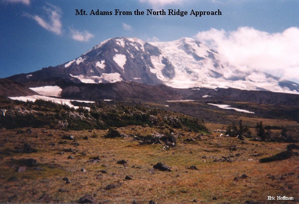
The North Ridge is reached from the Killen Creek Trailhead. A 3.1 mile hike on Trail 113 took us to the PCT and an elevation of 6100'. From there, The High Camp Trail (FST 10) can be followed one mile and 800 vertical feet closer to the base of the North Ridge. From the trail's end, a 2+ mile cross country excursion that was partly on snow and partly on rock brought us to our planned camp at ~8000'. This would have been a great area to camp, but with the threat of deteriorating weather, we pushed up the ridge..


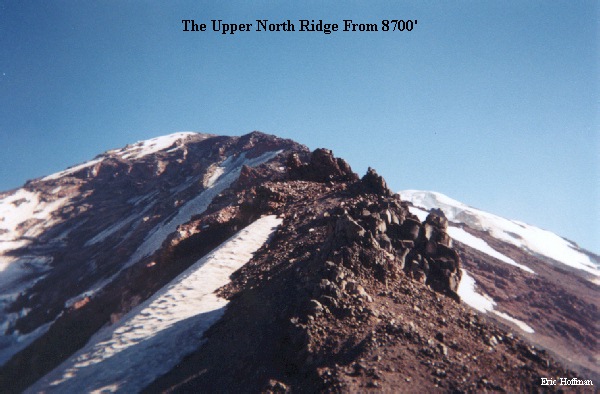
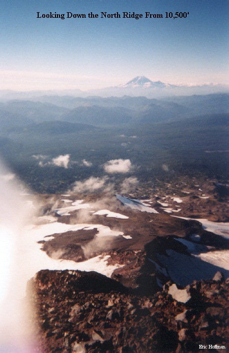
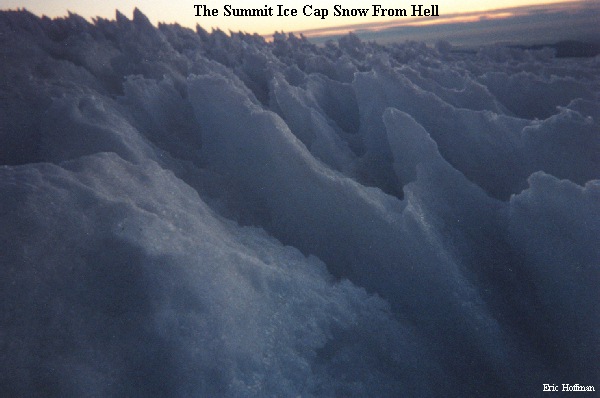
We began the ascent of the ridge with the Lava Glacier to the east, the Adams Glacier to the west and the summit above. The ridge was rocky and loose to its mid section where it narrows and becomes exposed. The steep sections of snow and ice (up to 50 degrees) that we expected to encounter had melted away, so we continued up on rock until we reached the summit plateau at about 11,200'. From there a walk on scree and a crossing of the glacier ice cap lead to the summit where we arrived near sunset. The snow on the summit ice cap could best be described as a walk across Hell after it froze. It took more than half an hour to travel a quarter of a mile with very little elevation gain. Once on the summit, we found shelter behind a rock wall and running water at the breach in the south side of the crater rim and settled in for a windy night.


The original plan was to meet up with the S.S. team on the summit around noon on the 18th, but the weather took a turn for the worse by mid morning and we decided to descend to Pikers Peak, the infamous "false summit" on the S.S. route, where we made radio contact with the S.S team. We continued down the route while they continued their attempt that was eventually called off at Pikers Peak due to the poor weather.
This was a great trip thanks to all involved. Thanks Andy J., Sylvia F., Kevin E., and Frank W. for coming along!