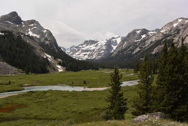
Titcomb Basin July 2011
This wasn’t my first attempt at Wyoming’s highest peak. Technically I had tried twice before. The first time I was turned back on the standard route from Elkhart Park by deep snow starting almost at the Pole Creek Trailhead. On the second attempt I went a bit later in the year but came down with a cold just before I left. Being stubborn I hiked from Elkhart Park to the fabulous Titcomb Basin and spent a night gasping for air. The combination on altitude and a cold made me rethink my plan and I ended up hiking out the next day.
|
Titcomb Basin July 2011 |
|
|
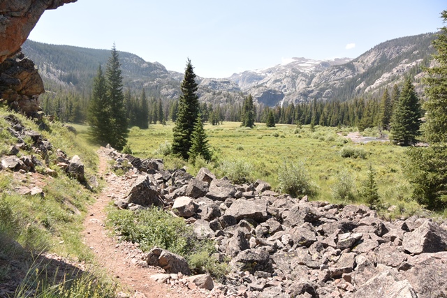
The snow pack in the Wind River Range this year was nothing short of extraordinary with monitoring stations reporting over 200% and sometime even over 300% of average. It was looking like it was time to look at the alternative of approaching from the north via the Glacier Trail. Although longer than the Pole Creek approach and with some up and down this route does offer a less strenuous summit day. On this trip that played a role in success.
|
Arriving at Bomber Basin |
|
|
|
Ty in the open meadows below Arrow Mountain |
|
|
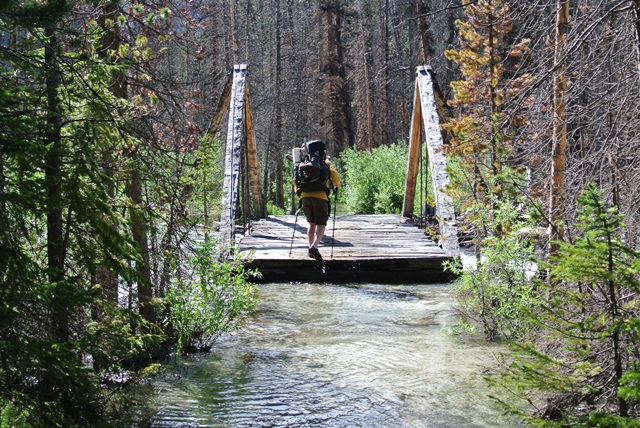
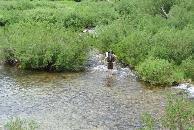
The following morning we started out descending past Honeymoon Lake to about 9,300’. I had read that there were some creek crossings that can be somewhat problematic, namely the Klondike and Gannett Creek crossings. However, the Downs Fork Creek crossing may be the biggest concern in the future. Although we had to wade through knee deep water to and from the bridge it is still useable. Rumor has it that the forest service is not going to replace it when it does washout. I recommend checking with the Dubois ranger station before you head out. You wouldn’t want to hike in 15.5 miles just to be turned back.
|
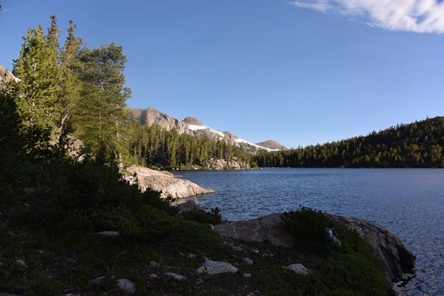
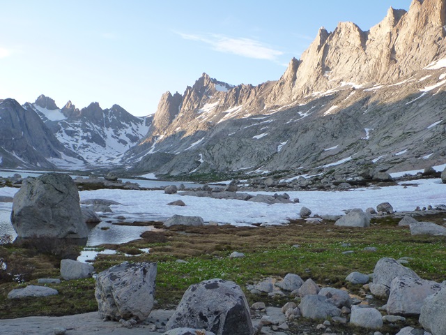
Morning at Star Lake |
|
|
|
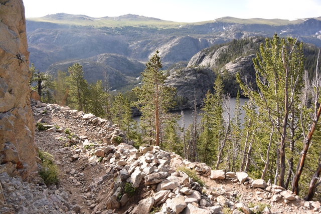
Descending towards Dinwoody Creek - Honeymoon Lake below |
|
|
|
Crossing Downs Fork |
|
|
|
First views of Gannett Peak |
|
|
|
Crossing Klondike Creek |
|
|
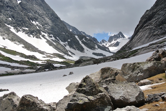
We finally arrived in the vicinity of “Tarn Camp” and set up camp at around 10,500’ which is below the glacial tarns but close enough… I was personally exhausted. Around 7:00 that evening a thunder storm featuring heavy rain and hail moved in … and again around 1AM and then around 4AM.
|
View from camp at c.10,500' |
|
|
Around 5:30 I got up and evaluated the situation. It looked like I was going to get a window of good weather. Unfortunately, Ty had never been above 10,000’ prior to this trip and was not doing too good with the altitude. He opted to stay in camp while I made an attempt to reach the summit.
|
The route from above "Tarn Camp" |
|
|
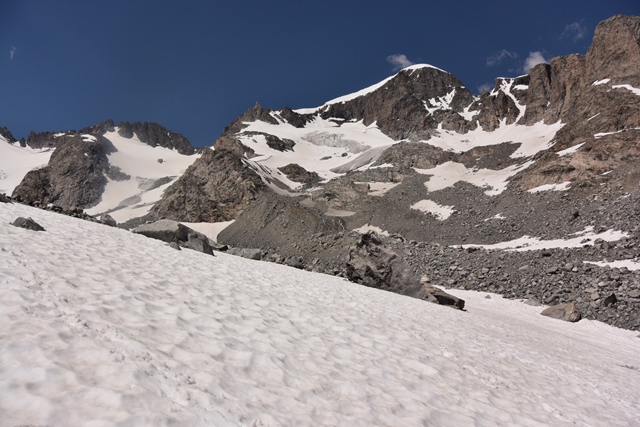
From camp I headed up the valley mostly on snow which made travel fairly easy. As I neared the end of the valley I started up the Dinwoody Glacier and made my way to the obvious ledge/wind arete at around 12,000’. There were a few people ahead of me that I caught up to including a guided party of 5 that had approached from the Ink Wells trail. The Ink Wells trail offers the shortest approach but comes with a hefty price tag.
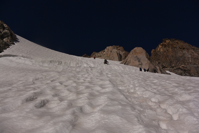
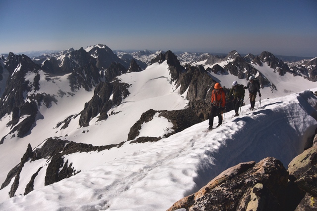
Once across the ledge I headed up a moderately steep section then crossed a rocky rib to the infamous bergschrund. The bergschrund was open in places but could be easily crossed. Once above the bergschrund I traversed right to gain the ridge near Gooseneck Pinnacle. After some boulder hoping on the ridge it turned to snow. The slope is short and steepens very quickly so I would categorize it as “don’t fall” terrain. The view was as impressive as I had imagined but I didn’t stay long.
|
Guided party at the bergschrund |
|
|
|
Guided party just below the summit |
|
|
|
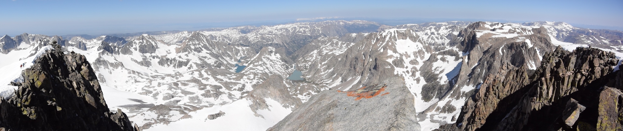
Panorama from the summit of Gannett Peak |
|
|
I returned the same way I came and reached camp around 1:00 PM. The thunder and rain started later that afternoon. I never saw anyone come over Bonney Pass (aka Dinwoody Pass). If there was anyone attempting to summit from Titcomb Basin the almost all night thunder storms probably crushed their hopes.
The following day Ty and I started the 22 mile hike out. By the time we reached Star Lake I think we both knew we were going to keep hiking all the way to the trailhead. A long day rewarded by a Badlands Burger at the Nostalgia Bistro in Dubois.
References:
Beartooth Publishing - Wind River Range North topographic map
Summitpost Gannett Peak page