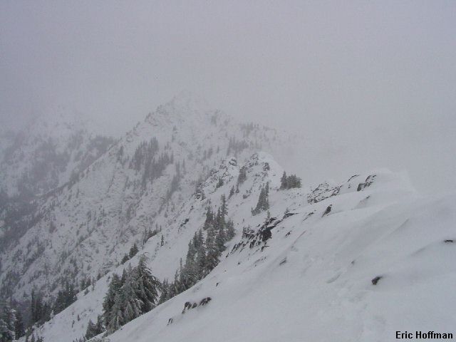
Kendall Peak from the PCT
This is a simple and easy ascent that took me about five hours round trip under non-ideal conditions. I arrived at the trailhead a little before 8:00am where there was a thin layer of slush suitable for swinging the back of my imported micro-SUV from side to side before parking. I started up the PCT heading north. I reached the junction where the old PCT branches right but decided to take the high and dry path known as the new PCT. I followed the PCT past the Commonwealth Basin Trail, then across an avalanche path, then on a long traverse to the north where there are two switchbacks NW of Kendall Peak.
|
Kendall Peak from the PCT |
|
|
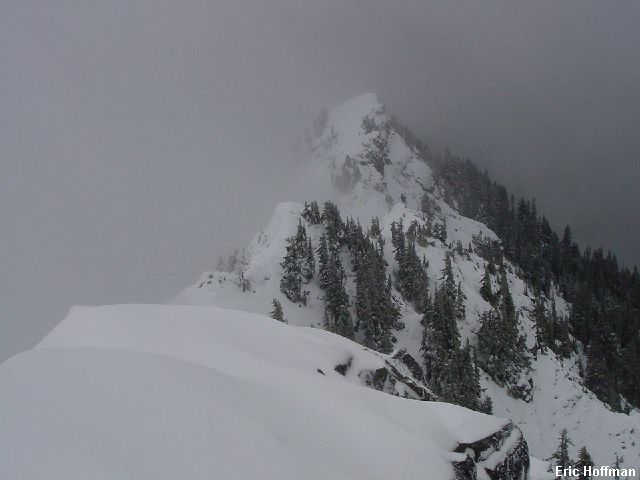
In the area of the second switchback (the PCT is again heading north), I left the trail and headed toward, then up a broad, shallow gully. The rain at the trailhead was now graupel and plenty had already fallen. There was snow below the several inches of graupel that had a melt/freeze crust. It was almost like a snow pack up there (unfortunately the forecast is for 8000' plus snow levels for the next several days). After reaching the top of the gully, I turned right expecting a "short scramble" but found nothing that resembled a scramble. Nothing in the immediate are seemed higher to the north but maybe to the south...
|
Red Mountain from Kendall Peak (north) |
|
|
|
The view to the south |
|
|
|
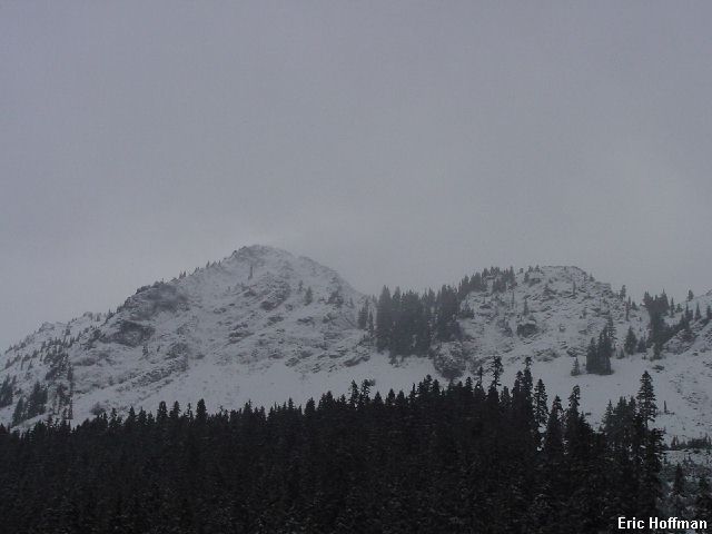
So this is Kendall Peak |
|
|
References:
Cascade Alpine Guide, Volume 1, 2nd Edition; Fred Beckey