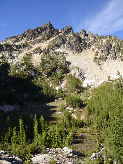
The North Fork Entiat River group from Copper Peak
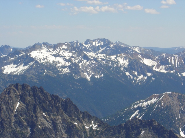
On a weekend where you could have climbed almost anything in the Cascades I decided to go to the Entiat Mountains for some senseless top 100 peak bagging. Actually, this wasn’t a bad time to go to the Entiat Mountains since snow covered most of the scree slopes.
|
The North Fork Entiat River group from Copper Peak |
|
|
I arrived at the North Fork Entiat River Trailhead (c.3900’) at about noon and began hiking not long after (See my last trip report to the N Fork Entiat for trailhead directions and trail description). The trail was snow free until c.4800 Feet. Grouse Creek was raging and had to be crossed on a log jam 100 Feet upsteam. The trail became nearly impossible to follow beyond the junction with the trail to Fern Lake. I ran into several parties over the course of the weekend trying to get to 6900’ Fern Lake… I don’t think any of them made it. One optimistic pair had fly rods…
I, of course, had to make things more difficult that necessary. Rather than pulling out the map and examining my options I tried to follow the trail. This was a waste of time as you can pretty much angle up directly toward the west side of Cardinal Peak with that much snow. I arrived at a flat open area at c.7100’ directly below the broad gully that leads to the saddle between the north and middle summits of Cardinal Peak at about 5:30. This was as good of a spot as any to camp. My original plan was to ascend Cardinal Peak that day but my motivation had withered away by the time I reached camp. I spent the evening defending the only reasonably flat rock in the area that had melted out from constant attack by ants. The N Fort Entiat 2006 mosquito prototypes made an occasional appearance but didn’t seem to know what they were supposed to do… yet.
|
Emerald Peak from the SW (July 7, 2005) |
|
|
The following morning started with a traverse toward Emerald Peak. I was forced to descend 200-300 feet to get around cliffs then climbed back toward the 6900’ basin south of Emerald. Crossing the right shoulder of the basin at c.7100’ I continued on a rising traverse until I was able to climb a gully to reach an upper basin between Saska Peak and Emerald Peak. From here a wide gully (moderate snow) led to a notch in the summit ridge. A scramble to the right (class 2 or 3) reached the summit where there are two points of near equal height. Neither of these points had a summit register. After a short stay I retraced my route back to camp (3 hours round trip).
|
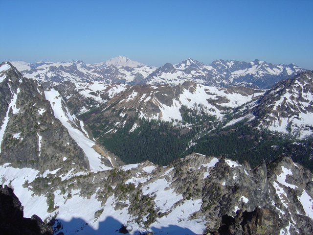
View from Saska Peak to Copper Peak from Emerald Peak |
|
|
From camp I headed west toward the saddle between the north and middle summits of Cardinal Peak. There was some steeper snow (to about 40 degrees for 100’) that had not softened so I put on my crampons. I reached the saddle and followed a steep, loose class 2 gully on the right to reach the summit ridge. I would discover later that it is easier to go through the saddle and traverse to reach the ridge. The ridge scramble to the middle summit was easy but I was force to traverse two patches of steep snow (class 2-3, 50 degree snow). The summit register consisted of a film canister and a few scraps of paper. The south summit in very close in height to the middle summit but appeared to be slightly lower.
|
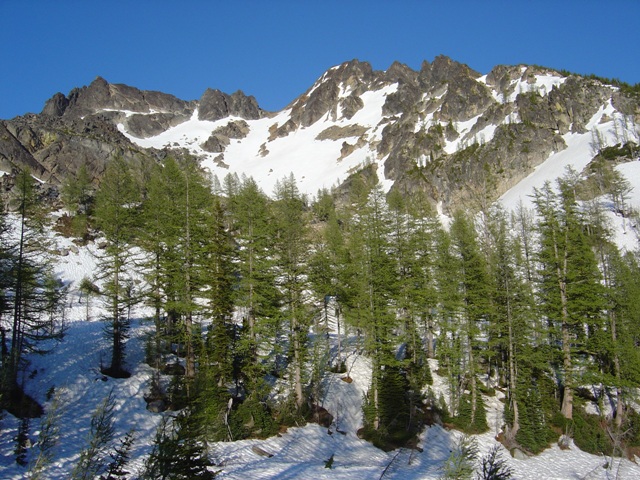
Cardinal Peak from the west |
|
|
|
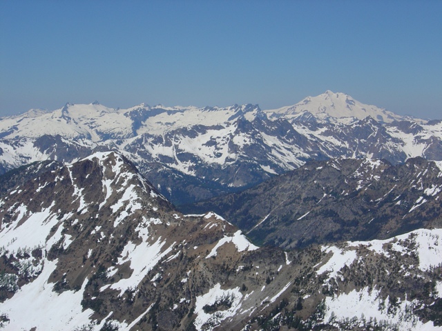
SW view from Cardinal Peak |
|
|
On descent I retraced my steps to the first snow patch I encounter on the ascent and down- climbed it until I could traverse back to the saddle between the north and middle summits then descended directly to camp (2.5 hours round trip). A three and a half hour hike took me back to the trailhead.
References:
Cascade Alpine Guide, Volume 2, 2nd Edition; Fred Beckey; Pages 184-186
75 Scrambles in Washington; Peggy Goldman; Pages 107-112