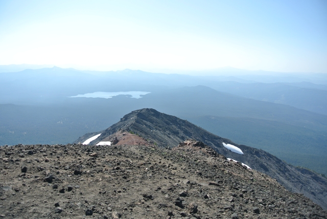
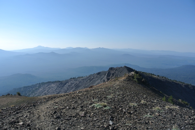
Broken Top to Jefferson from Bachelor Butte
We decided to head to Sunriver for a few days to check out the local attractions including a few volcanoes that I hadn�t been up. When we arrived we discovered the tourism driven chaos that Sunriver is during the summer season, but wait, the day after Labor Day there was hardly a soul to be found.
On September 2nd we headed toward Mount Bachelor (formerly Bachelor Butte) and parked on the Cascade Lakes Highway at the road to the Sunrise Lodge and lift (the gate was locked). We began the ascent from here hiking up the road a short distance before locating a trail that cut through the switchbacks of the paved roadway. At the bottom of the Sunrise lift we located the signed trail to the right. In about 3 miles and 2600 feet later we arrived at the summit area (9065�). Although the views are good from the top you may find the aesthetic quality lacking, probably because in 3 months you could ride the lift here.
|
Broken Top to Jefferson from Bachelor Butte |
|
|
|
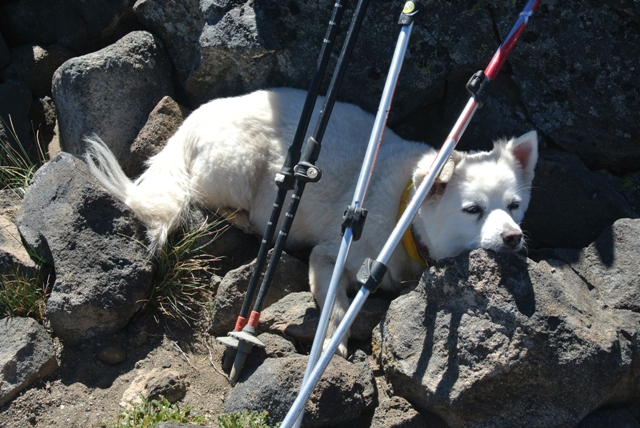
A tired dog takes a break from begging for trail snacks on the Summit of Mt Bachelor |
|
|
The next couple of days we checked out some of the obvious area attractions and some of the more obscure ones...
|
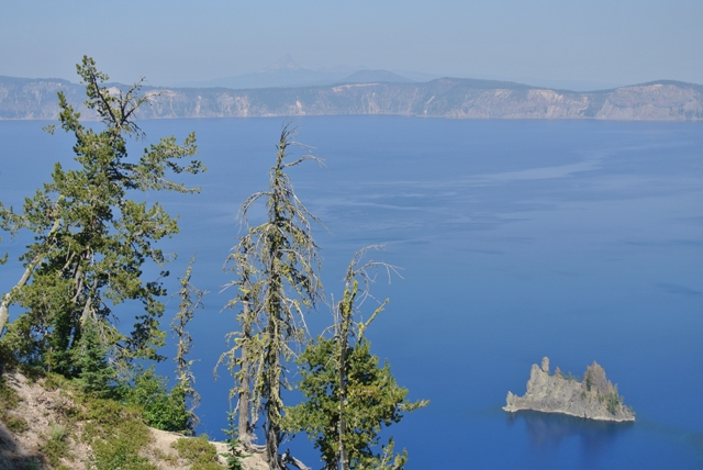
The Phantom Ship, Crater Lake National Park |
|
|
|
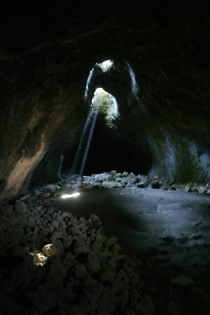
Sun beams at Skylight Caves |
|
|
|
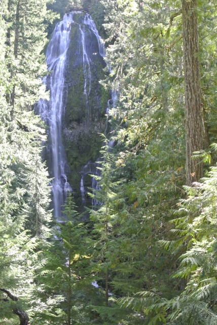
Upper Proxy Falls |
|
|
|
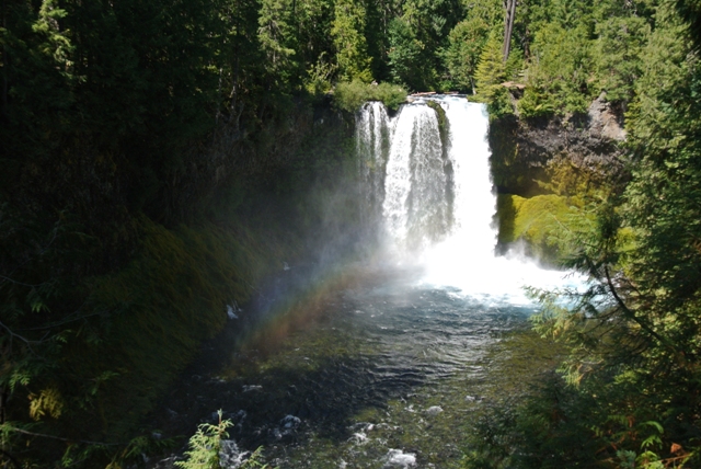
Koosah Falls on the McKenzie River |
|
|
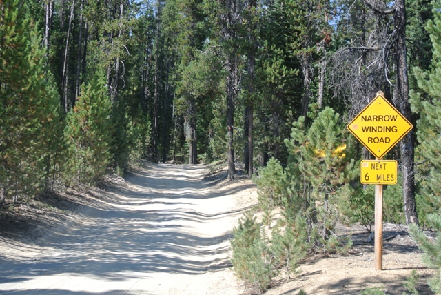
On the 5th I headed for Diamond Peak but first I had to get to Summit Lake. Don�t follow the directions that google gives you from Sunriver unless you have a vehicle with good clearance. Road 6010 had a warning sign but it wasn�t really accurate for the condition of the road. Fortunately, we had taken Lorri�s Jeep on this trip so I made it via this route, barely. I think the best route without a vehicle with good clearance is from the west via many miles of forest service road.
|
FSR 6010 near Cresent Lake |
|
|
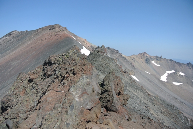
Once at Summit Lake I located the PCT trailhead on the North end of the lake. I was ignoring all of the route information on summitpost which all seemed to make this mountain harder than it is in a bushwhacking/scree festival kind of way. I was gambling that there was probably a route up Diamond Peak from the PCT which traverses its eastern flank. After about 4.5 miles on the PCT I arrived at a switchback with a good view back to Summit Lake. Just beyond this I found what I expected, a path heading up the southern slope of Diamond Peak.
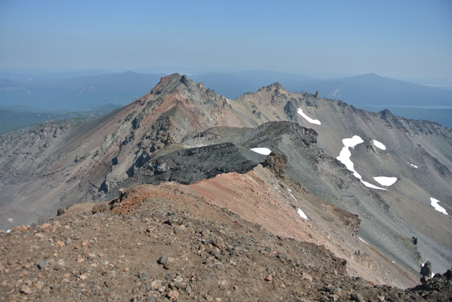
The path was easy to follow at first but eventually turned into many paths as it made its way to the false summit. From the false summit the paths converge where the remainder of the route is obvious. The summit is a nice perch but would have been nicer if not for all of the smoke from the many wildfires burning.
|
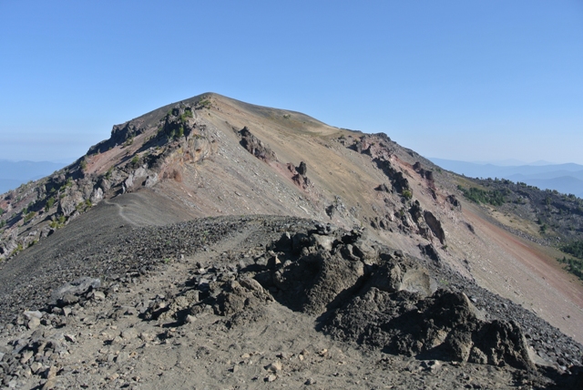
The summit of Diamond Peak from the false summit |
|
|
|
A hazy view north from Diamond Peak |
|
|
|
Summit Lake from Diamond Peak |
|
|
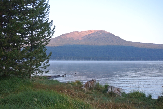
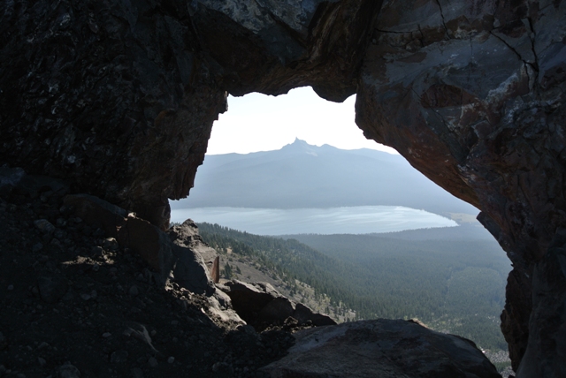
On the 6th I headed south following directions from summitpost to reach the upper trailhead for the Mount Bailey trail. Once again higher clearance is needed to negotiate the road. There is a trail all the way to the summit although not much of one once you reach the summit ridge. The smoke once again limited the view but one of the most interesting views was still okay � Diamond Lake and Mount Thielson through a cannon hole on the summit ridge.
|
Mount Bailey from Diamond Lake |
|
|
|
The summit of Mount Bailey from the false summit |
|
|
|
Diamond Lake and Mount Thielson through the cannonhole on Mount Bailey |
|
|
|
The Crater Lake caldera from Mount Bailey |
|
|
A couple more days of checking out the local attractions brought this get-away to an end. A lot to see but not enough time... A good reference for the Bend area is a book called �Bend, Overall.�
|
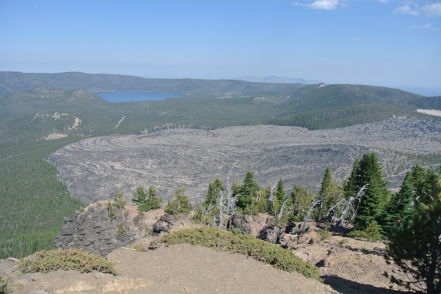
The BIG Obsidian Flow from Paulina Peak, Newberry National Volcanic Monument |
|
|
|
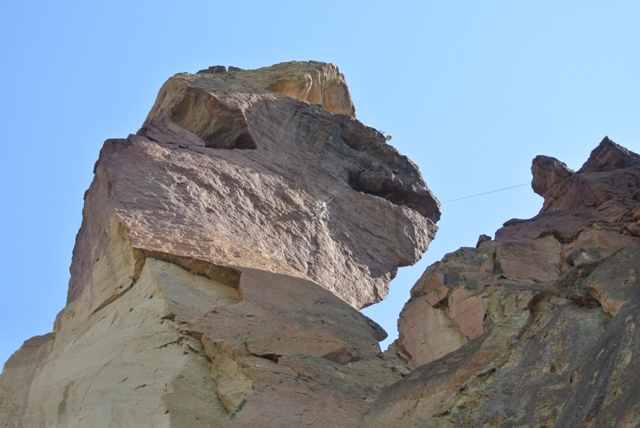
Climber on the Monkey Face, Smith Rock State Park |
|
|
References:
General Area - Bend, Overall; Scott Cook
Diamond Peak - Diamond Peak & Emmigrant Butte USGS 7.5 Minute Quadrangles
Mount Bailey - Diamond Lake USGS 7.5 Minute Quadrangle