![]() Click
Here for map
Click
Here for map
I would have called this route the Southeast Ridge Route personally, since that is where the climbing and fun are. The route gains the ridge at the +8000' notch east of the summit, about 600 feet below the summit. This is lower than the Stuart/Sherpa Col where the West Ridge Route begins. This is the easiest route to the summit of Sherpa Peak, but an interesting climb nonetheless. It was a great route to solo but it was nice to have a rope along for rappels.
I left the Esmeralda Basin Trailhead, located at the end of Teanaway River Road (FSR 9737), a little after 7:00am. The sky was mostly clear, the winds were gusty and the elevation was about 4200'. I started hiking the Esmeralda Basin Trail (FST 13940) the turned right onto Ingalls Lake Way (FST 1390). In about two miles I took another right onto the Long's Pass Trail (FST 1229). I arrived at Long's Pass, where the painful 1500 foot descent to Ingalls Creek begins, in a little over an hour. Anyone who has come over the pass after climbing all day knows why I say it is painful.
|
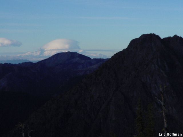
Rainier from Long's Pass |
|
|
|
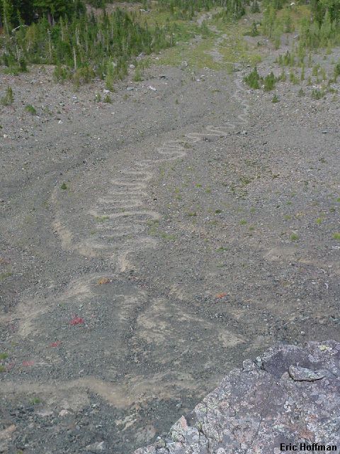
The trail on the NE side of Long's Pass. It's worse looking up at it. |
|
|
|
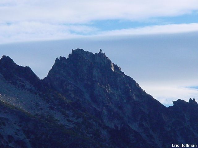
Sherpa Peak from Long's Pass |
|
|
I descended to the Ingalls Creek Trail (FST 1215) and followed it east. I passed the Turnpike Creek Trail and continued through the grassy, then brushy, then grassy again open area. Just before entering the trees, I turned and started up a grassy slope, keeping right as much as possible. When the grass ended I continued upward and rightward. The trees finally lost out to brush for a couple of hundred feet before I reached a large talus gully. The bushwhacking seemed inevitable but was not as bad as I expected.
I headed up the gully keeping right to about 7000'. The guide said to keep right to the talus basin SW of the summit. Hmmm...I was in a talus basin but it was not SW of the summit. I could see that there was another level of the basin higher up and to the SW of the summit, but this meant going left. I went upward and leftward to the basin and soon realized that the obvious gully I had seen from below was the correct gully. I had climbed several hundred feet up on large boulders and talus and wasn't to happy with the idea of going down. A gully leading east led to a notch in a minor S. Ridge of Sherpa. I climbed up it (class 3) and then into the gully on the other side. I descended slightly then traversed into another gully leading toward the +8000 foot notch East of Sherpa. I ascended upward (class 2) toward the east ridge and gained it about 100 feet above the notch.
I started up the ridge and quickly came to the first obstacle, a vertical chimney with rappel slings chained that could have nearly been used as aiders. I backtracked a bit and circle to the north on sandy ledges then scrambled (class 3-4) up to the area above the chimney. I continued upward on the south side of the ridge then climbed more class 3-4 back to the ridge crest (rappel slings). The next obstacle was a somewhat exposed slab followed by a steep gully. I crossed the slab (relatively low angled) on an easy crack then climbed up the gully (class 4) passing several rappel slings. I continued upward on the south side of the crest and reached the balanced rock. I passed the rock on the north then traversed the ridge a short distance where a steep and difficult slap blocked progress. I descended (class 3) a few feet to the north side and traversed a ledge until I could climb a gully (even more rappel slings) back to the ridge crest. The gully was class 4 and reached the ridge crest just west of the summit. A short traverse across a slab (small cracks for holds) led to the true summit.
|
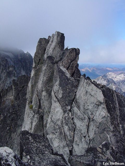
The summit of Sherpa Peak from beneath the balanced rock |
|
|
|
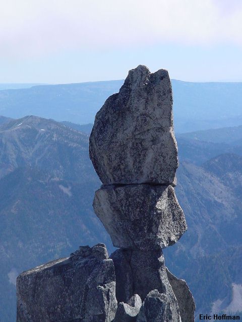
The balanced rock from the summit |
|
|
On the descent I made on rappel down the gully below the summit, another down the steep gully to the exposed slab and another after crossing the slab. I down climbed the vertical chimney using the chained together rappel slings then descended all the way to the notch. Lots of scree and a couple of class 3 steps reached the talus basin SOUTH of the summit.
References:
Cascade Alpine Guide, Volume 1, 2nd Edition; Fred Beckey; Pages 269