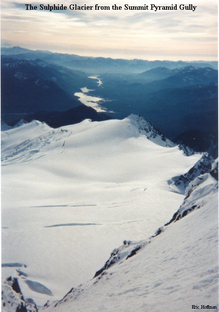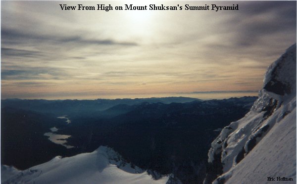

If any mountain in the Cascades has a mythical feel, it is Mount Shuksan. It is a rocky, ice covered mass strategically placed to receive what would seem to be the worst possible weather in the range, but with the current weather pattern Mount Shuksan was a prime target for a late season outing. An ascent of this mountain has been described as a pilgrimage in which you don't know where you are, how you got there, or how you will ever get back. While I don't think it is all that, Mt. Shuksan is a special place. The Sulphide Glacier, which lies to the south of the summit, offers the least technical route to the summit pyramid.
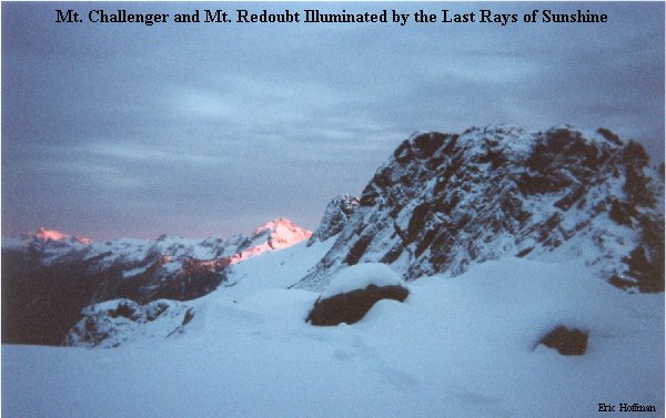
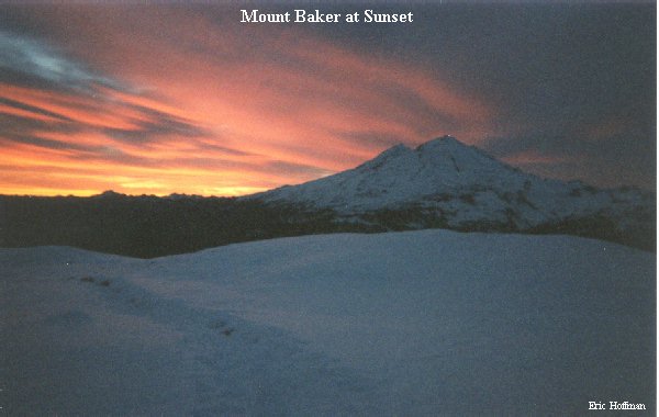
This trip included everything I have come to expect from a trip to the North Cascades: jagged peaks, incredible glaciers, unbelievable sunrises and sunsets, a warning from a Washington State Patrol Officer (63 in a 55), and the mandatory traffic jam in Everett (yes, even at 3:50 AM).
To reach the appropriate trailhead for this journey, drive east on Highway 20 for 22.5 miles to Baker Lake Road (FSR 11). Turn left and follow Baker Lake Road (becomes FSR 11) to FSR 1152 which is then followed to spur road 014. Follow 014 to its end at the Shannon Ridge Trailhead. Trail 742 is an "unmaintained trail" but do not be deceived by this, a trail parking pass is still required to park there.
Trail 742 follows an old logging road through forested slopes and occasional openings for about two miles before ascending steeply for a few hundred feet to the crest of Shannon Ridge. Once on the crest, the trail follows the ridge past point 4633' to a 5500' gap. From the gap, traverse left below cliffs then head due north to the typical high camp area at the foot of the Sulphide Glacier (~6400').
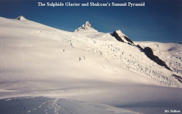
The Sulphide Glacier is easiest to ascend near its west edge. Ascend the glacier toward Point 7848' easily negotiating a few crevasses to approximately 7600', where a traverse around point 7848' to a flat area saves some needless elevation gain. Once around Point 7848, the route crosses a large glacier flat below the Hell's Highway Col (a steep ice finger connecting the Upper Curtis and Sulphide Glaciers). From the flat, ascend toward the right side of the summit pyramid.
The route up the summit Pyramid is the 400' high gully at the center of the south face, when it is melted out it a class 3-4 rock climb, but it now has sufficient snow covering the rocks (barely) to make it more an ice/snow climbing adventure that averages about 50 degrees with sections reaching 60 degrees. The gully is most easily accessed by making a rising traverse from the right side. Due to conditions at the top of the gully, I didn't feel I could safely exit and re-enter the gully, so I was stopped short of the summit by 10 FEET!
