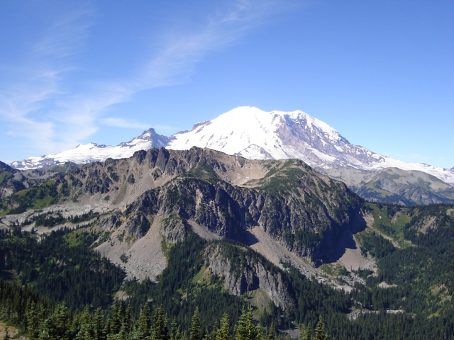
Slide Mountain from Crystal Mountain
Slide is the less than impressive bump left of center
It is not uncommon to hear someone say, “Dude!” when skiing at Crystal Mountain on a clear winter day... actually, it's not uncommon to hear someone say "Dude!" on a cloudy day either. However, the obvious alp slopes of Slide Mountain, a peak in the Sourdough Mountains in the NE corner of Mount Rainier National Park, often provokes such a profound statement. The USGS map shows Slide Mountain to be the 6339’ peak 1.4 miles south of the park’s northern border, but the next two points to the south are higher and also offer tempting looking alp slopes, dude!
|
Slide Mountain from Crystal Mountain |
|
|
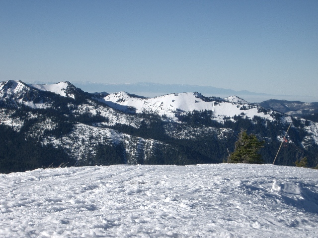
The snow was, of course, long gone by the time I get here in August. The quickest way to access Slide Mountain is from Buck Creek Road (FSR 7160) and the trail to Sun Top (FST 1183). Depending upon when you go you may encounter snow or the gate may be locked. The gate is at about 3 miles.
I had only a few hours before having to report to family duty but I figured if got an early start I could at least get out for a short hike . Slide Mountain was calling me. I drove to where the trail crosses the road at c.4400’. From here I figured I could hike the trail for about a mile and a half then follow a dry streambed to a small lake NNE of Slide Mountain. I arrived at the dry streambed and was pleasantly surprised to find a path leading toward the small lake. The path was relatively easy to follow and made travel to the small lake quick.
From the lake I headed SW through forest then an open slope to a ridge where I could easily traverse around the right side a hump. This hump is about the same height as the summit bump of Slide Mountain which I found this to be less than satisfying. I still had some time left and decided to continue south on the ridge to the next point which is higher.
There was some minor scrambling on the ridge to reach the next point but it didn’t take long so I figured I might as well continue to the next point which was about equal in height. I turned around there and returned to my car by reversing the route. The round trip time was a little under 4 hours.
|
Mount Rainier from beyond Slide Mountain (6620') |
|
|
References: