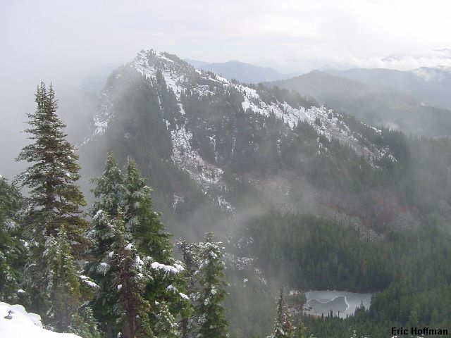
Abiel Peak from the summit of Tinkham Peak
These three peaks south of Snoqualmie Pass are little more than hikes. I found Tinkham to be the most interesting and impressive, and the summit I reached first. I began at Windy Pass (to get there take FSR 9070 from Hyak) where the PCT crosses the road. I hiked south on the PCT for about 2 miles and just below the low point in the ridge between Tinkham peak and a minor hump, hereafter referred to as The Hump, centrally located between Tinkham, Abiel and Silver Peaks. There was a path that led to the low point in the ridge then went in several directions. To the left was a path that followed the ridge towards Tinkham. To the right was a path that led towards Abiel and Silver. Straight ahead a path lead toward Abiel Lake, which is technically off limits to the general public because it is in the Cedar River Watershed.
I went left toward Tinkham Peak. The path, although obscured by snow, was fairly easy to follow if for no other reason than it followed the "No Trespassing" signs of the watershed. Eventually, the path reach a wide gully that ended at a short steeper rock and heather face. I climbed to the lower left side of the face. A finish on the ridge seemed difficult under the conditions, so I followed ramps and ledges of rock and heather on the short face to the reach the summit area (there is a summit register.). There were several inches of snow that made the route seem more difficult than is really is. When melted out it is probably class 1. There is a moderate to steep couloir just right of the north face that may offer a more interesting climb under the right conditions, otherwise the north face is steep rock (no routes in the guide).
|
Abiel Peak from the summit of Tinkham Peak |
|
|
I descended back to the low point in the ridge and continued on toward Abiel Peak, Silver Peak, and The Hump between the three peaks I planned to reach on this mostly cloudy, but dry day. I lost the path in deeper snow (it seems that is stays a couple of hundred feet below and north of the top of The Hump) and basically went over the hump to reach the saddle between The Hump and Abiel Peak. From there I could tell that there was a path of some sort leading up the ridge towards the summit of Abiel. The top is reached with minimal difficulties (mostly low brush and talus). As when I was on Tinkham Peak, the weather didn't allow for many views...until I was on the way down, when I got the best views of the day.
|
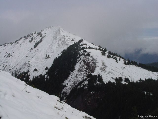
Tinkham Peak from the summit of Abiel Peak |
|
|
|
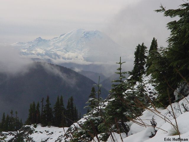
Mount Rainier from Abiel Peak |
|
|
|
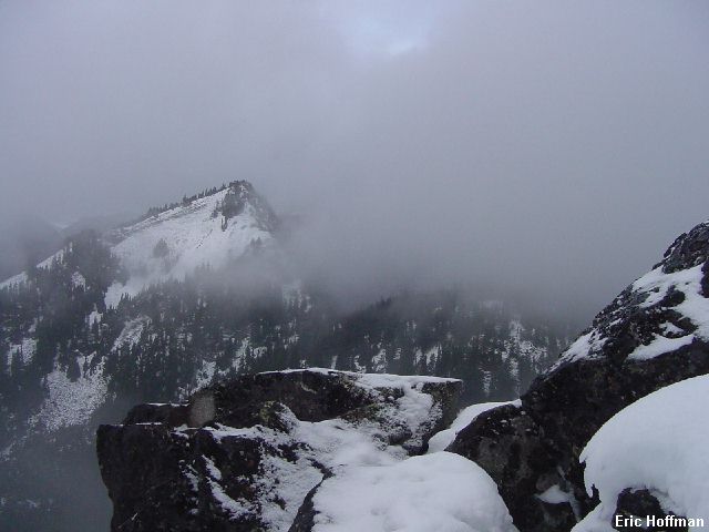
Silver Peak from Abiel Peak |
|
|
I returned to The Hump, traversing just below the top on the west to reach the saddle between The Hump and Silver Peak.
The ascent of Silver Peak is simple: follow the ridge to the top. While this is probably the simplest of the three, it is more open and aesthetic... and would be the best ski tour...hmmm.
It is possible to take a more direct route from the summit back to the trail but it will probably save little time (brush and cliff bands). The fastest descent (particularly with good snow) is probably to descend the ridge (south) a few hundred feet then descend directly toward the trail.
References:
Cascade Alpine Guide, Volume 1, 2nd Edition; Fred Beckey; Pages 144-147